- Where is Sunshine Coast?
- Sunshine Coast is in South East Queensland, Queensland, Australia. The destination guide above maps the area; the drive-times panel further down lists distances to other Queensland destinations so you can pencil it into a longer itinerary.
- When is the best time to visit Sunshine Coast?
- Based on 30 years of climate data, the most comfortable months at Sunshine Coast are typically July, August, September — milder temperatures, lower rainfall, and longer sunshine hours. February tends to be the trickiest month weather-wise. School holiday weeks (Easter, late June–early July, late September, mid-December–late January) get busy and prices rise, so shoulder season is usually the sweet spot if you're flexible.
- What's the weather like in Sunshine Coast?
- Summer daytime highs average around 35°C and winter overnight lows can drop to about 9°C. Annual rainfall sits at roughly 1295 mm spread across the year. The climate panel above breaks every month down — daytime high, overnight low, monthly rain, sunny days — so you can match the trip to the weather you want.
- How do I get to Sunshine Coast?
- Most travellers arrive by road. From Noosa it's about 32 km — roughly 0h 31m of driving via the main highway, conditions permitting. The drive-times panel above lists travel time and distance to every other Queensland destination so you can sketch out a road-trip route. Check road conditions in winter if your route crosses high country, and plan for breaks every ~2 hours.
- What are the top things to see in Sunshine Coast?
- Well-known spots within day-trip range include Henley Park, Cenotaph, Cenotaph, Majestic Cinema and Event Centre, Aussie World. The "What else is around" panel above lists every named point of interest by category — lookouts, peaks, waterfalls, museums, beaches — pulled straight from OpenStreetMap. Click any name for the location, opening hours and directions.
- Where can I stay near Sunshine Coast?
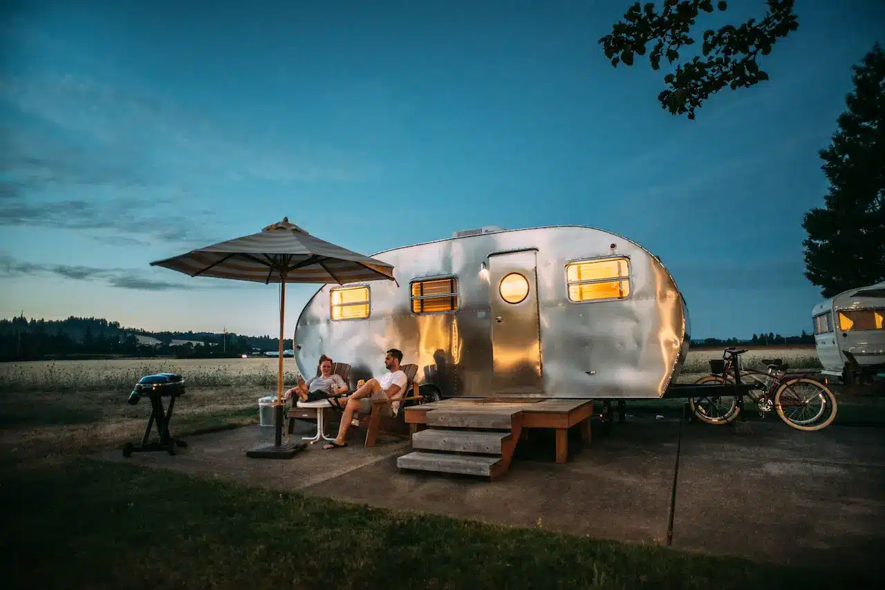
- We list 8 caravan and holiday parks in and around Sunshine Coast above — powered sites, cabins, glamping, and big-rig-friendly options. Pet rules, dump points and shaded sites are noted on each park's page. For hotel-style stays, the Drive Times panel makes it easy to base yourself in a nearby town and day-trip in.
- How many days should I spend at Sunshine Coast?
- Most travellers spend 1–2 days at Sunshine Coast to cover the highlights without rushing. There are 8 bookable tours and experiences, 0 attractions and 5+ named viewpoints/landmarks listed for the area on this page — plenty to fill a weekend, more if you slow down and explore the outer reaches.
- Is Sunshine Coast good for families with kids?
- Yes — there are 20 family-friendly attractions, museums and family destinations within easy reach (zoos, aquariums, interactive museums, family-friendly theme parks). The caravan parks section above flags parks with playgrounds, kids' pools and family cabins.
- What day trips can I do from Sunshine Coast?
- Within ~2.5 hours' drive: Noosa, Brisbane, Rainbow Beach, Gold Coast. The drive-times panel above lists every nearby destination with road distance and travel time — pick one, drive across in the morning, and you're back for dinner.
- Is there public transport at Sunshine Coast?
- Coverage varies — major destinations have train and bus links from the closest capital, but smaller regional towns rely on infrequent coach services. The most reliable way to explore the wider area is a hire car or your own vehicle. If you're using public transport, plan around the timetables and check the night before you travel; rural routes are often once or twice a day.
- Is Sunshine Coast accessible for wheelchair users and reduced mobility?
- Major town centres, museums and built-up tourist precincts at Sunshine Coast are usually accessible; bush walks and lookouts vary widely. The OpenStreetMap data underneath the "What else is around" panel records wheelchair access on individual sites — click through to any place's page for the specific accessibility info. For tours, check the operator's website or call ahead; most reputable operators publish their access details.
- How much does a trip to Sunshine Coast cost?
- Budget travellers can do Sunshine Coast on roughly $120–180 per person per day (caravan park, cooking your own, free walks); mid-range $200–350 (hotel, paid attractions, eating out once a day); higher-end $400+ (boutique stays, tours, fine dining). Fuel is the big variable — Australia's regional driving distances add up. Tours and attractions in the listings above show prices in AUD where the operator publishes them.
- Will I have phone signal at Sunshine Coast?
- Most named destinations in Queensland have at least Telstra and Optus coverage in town. Coverage drops off quickly outside built-up areas — particularly in national parks, valleys and along long stretches of highway. If you're heading into remote areas, download offline maps before you leave, tell someone your itinerary, and consider a PLB (personal locator beacon) for serious bush walks.